Mexico City — The advance of sargasso in the Mexican Caribbean is no longer measured only in mounds of algae on the sand, but also in gigabytes of data arriving from space. The National Autonomous University of Mexico (UNAM) has deployed a meticulous surveillance system over this stretch of murky waters that threatens ecosystems, tourism and health, in a year when up to 40 million metric tons of sargasso biomass are expected in the Atlantic.
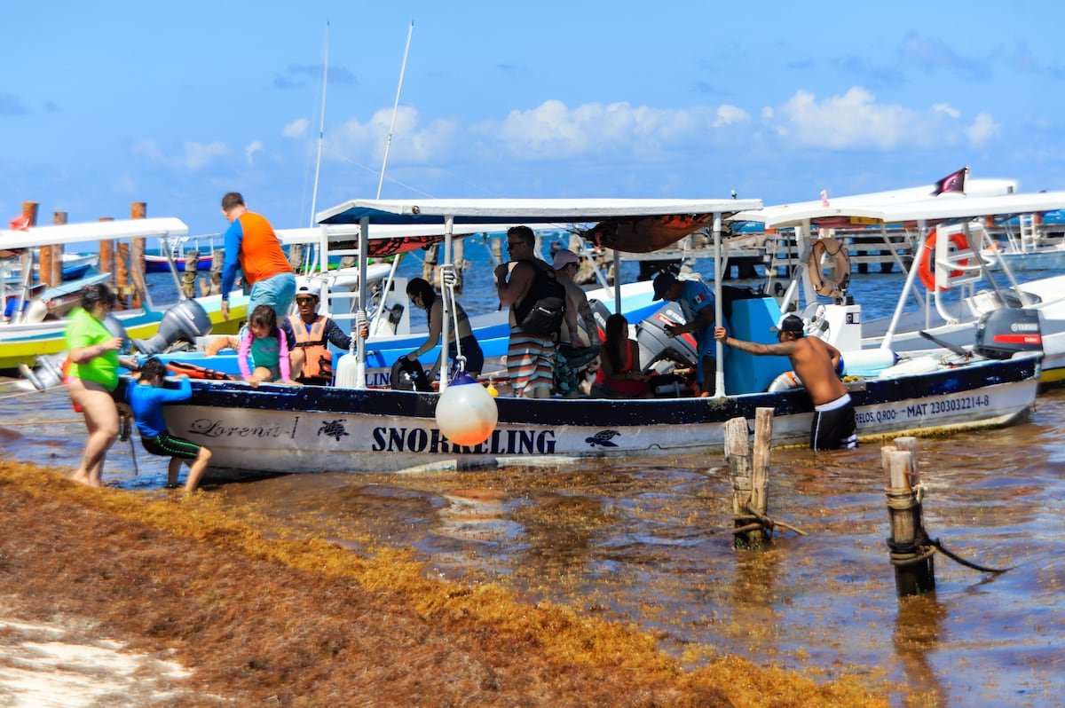
From the National Laboratory for Earth Observation (LANOT), based at the Institute of Geography, researchers have spent six years tracking the sargasso that forms in the Atlantic and travels through the Caribbean before reaching Mexican shores. The initial goal was to detect and monitor floating patches to prevent them from reaching reefs and beaches, where the ecological and economic impact is immediate. Last year, Quintana Roo alone collected approximately 96,000 tons of sargasso, a figure that researchers estimate could increase this season.
The problem goes beyond the landscape. When sargasso accumulates and decomposes on the coast, it creates a strip of murky water known as a brown tide that damages reefs and seagrass beds, which are key to Caribbean biodiversity. At the same time, the foul odor and unsightly appearance of beaches drive away tourists, posing a major setback for one of the region’s key industries. Health is also compromised: the algae can concentrate heavy metals such as arsenic, mercury and cadmium, making it unsuitable for animal feed, and its disposal in unauthorized areas risks contaminating aquifers.
Space Technology Against Sargasso
UNAM’s response combines satellite technology, numerical modeling and fieldwork. Jorge Prado Molina, coordinator of LANOT, uses images from the Sentinel-2 satellite, which covers the region every five days and allows researchers to locate large sargasso rafts at sea. The study area includes not only the coast of Quintana Roo, but also Belize, Guatemala and part of Honduras, because currents carry the biomass to those countries before it reaches Mexico.
In the intervals between satellite images, researchers fill information gaps with models of sea currents, wind and waves to anticipate when and where large sargasso accumulations will run aground on the Mexican Caribbean coast. On land, they collaborate with specialists from the Institute of Marine Sciences and Limnology to verify that what is seen from space matches what is happening on the coast. They use floating GPS devices that track the movement of patches, spectroradiometers that identify the characteristic light “fingerprint” of sargasso, and drone flights to directly assess its impact on the reef.
Local authorities have installed containment barriers along about 90 kilometers of coastline, but the magnitude of the phenomenon overwhelms them. When the biomass sinks or passes under the structures, it ends up feeding the brown tide that extends out to sea. To better manage this pressure, LANOT has developed a web viewer that integrates satellite images and dynamic model results, allowing researchers to estimate the distance of the patches, the amount of sargasso that will arrive, when it will arrive, and the likely grounding points.
Sargasso, Prado Molina notes, is also a floating ecosystem where fish, crustaceans and turtles find refuge. Its proliferation is linked to factors such as global warming and changes in ocean currents. The speed at which it can double its volume — in just 18 days — forces a search for solutions beyond beach cleaning. Among the proposals under study is capturing the algae offshore to shred it and prevent it from continuing to float until it reaches the coast. With an archive of 4,700 images of the region, UNAM has become one of the key observatories for understanding a phenomenon that is already redefining coastal and marine life in the Caribbean.