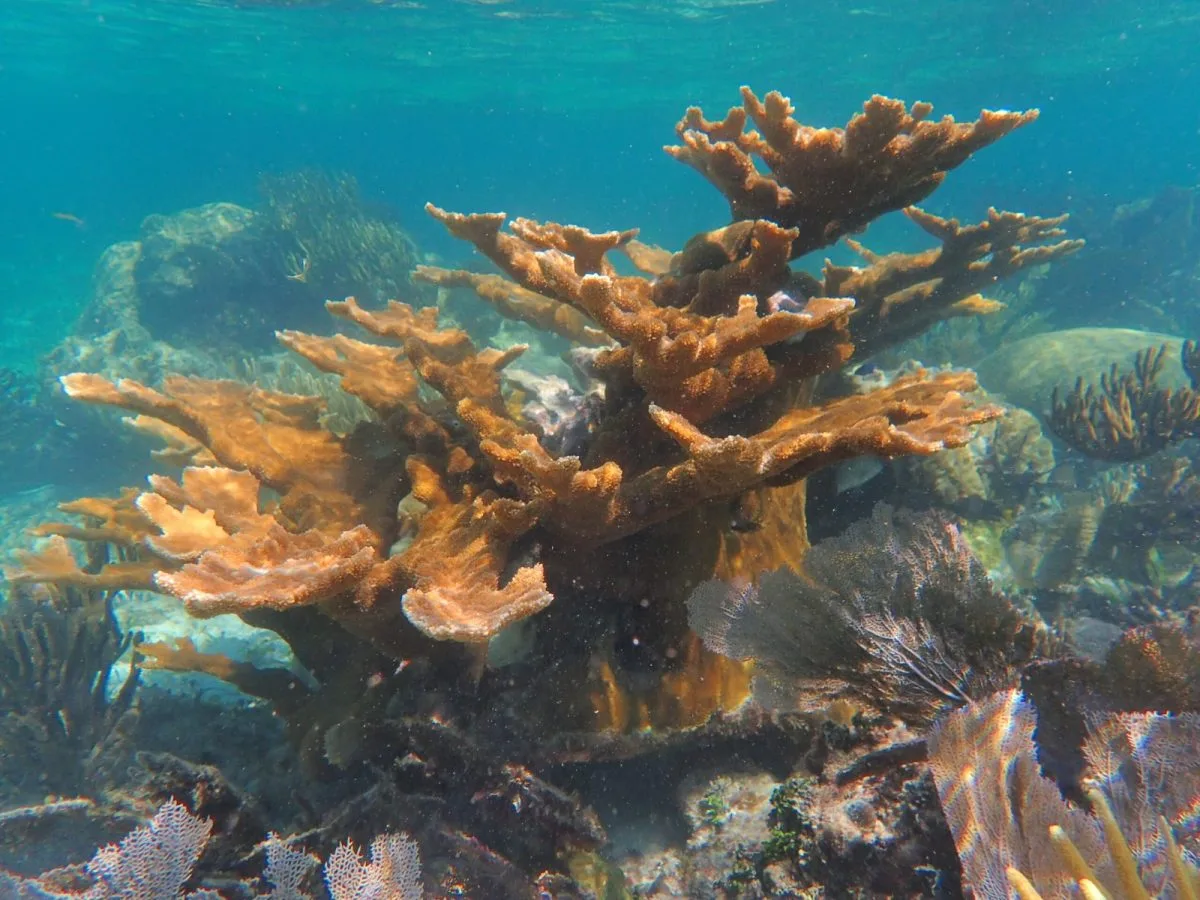
Cozumel, Quintana Roo — Divers planning a trip to Cozumel can now get a closer look at the island’s underwater landscape before stepping onto a boat. An interactive mapping project lets users explore 3D views of reef walls, coral gardens and the C-53 Felipe Xicoténcatl shipwreck.
The team behind Cozumel Coral Reef Maps says it has mapped 15 reefs and more than nine kilometers of underwater terrain. Its site lists familiar dive areas including Palancar, Colombia, Santa Rosa Wall, Yucab and the C-53, with depth ranges for individual sites.
For a visitor choosing between dives, that means a chance to see how a site is shaped rather than relying only on a name or a brief description. A guide can use the models to show where a reef drops away into a wall or where a route passes through shallower formations. The maps do not replace a guide’s assessment of currents, weather and conditions on the day.
According to the project’s account of its development, local divers built the tool through repeated dives, photography and digital modeling. The team says the National Commission of Protected Natural Areas, or Conanp, supplied information and support. That makes the project a collaboration with the marine park, rather than a real-time monitoring system operated by the agency.
A Closer View of a Reef Under Pressure
The maps may also help visitors understand why small actions underwater matter. Cozumel’s reefs are part of a national park established in 1996, where diving and snorkeling are central to both the visitor experience and the local economy.
The need to protect those sites is more than theoretical. In 2019, Conanp temporarily restricted visits to Palancar, Colombia and El Cielo while responding to coral disease. The agency continues to ask visitors to respect reef-rest periods and use authorized operators.
A 3D model can provide a useful record of a reef’s shape and a way to plan surveys or explain changes over time. Establishing whether a particular coral is bleaching or affected by disease, however, still requires current observations and scientific assessment. The public mapping site does not claim to provide live diagnoses.
For anyone headed underwater, Conanp’s visitor rules remain the practical guide: keep clear of coral, do not touch or feed marine life, and travel with an authorized boat and guide. The new maps offer a way to appreciate what lies below the surface before seeing it firsthand.
More Environment
- Documentary Exposes 30 Years of Pollution in Cancún’s Chacmuchuch Lagoon
- Crocodile Surprises Tourists Swimming at Cozumel’s El Cielo Sandbar
- Playa del Carmen Calls Volunteers to Clean More Than 7 Kilometers of Beach
- Tulum Fishing Cooperative Seeks Funds to Expand Facilities and Sustain 70 Families
- Hurricane Simon Threatens Puerto Vallarta as Category 4
More Cozumel
- Canada Drives Mexican Caribbean Demand for Final Quarter of 2026
- Quintana Roo Opens Addiction Rehabilitation Center in Cozumel
- Five Cozumel Firefighters to Receive Training in Houston
- Cozumel Officials Review Malecón Remodel Plans at Tourism Development Workshop
- Cozumel Mayor Chacón Inspects Road Rehabilitation in Félix González Neighborhood