Quintana Roo, Mexico — Meteorological authorities have issued an alert for the state of Quintana Roo ahead of the arrival of Cold Front number 25, which will bring severe weather conditions during the closing days of 2025.
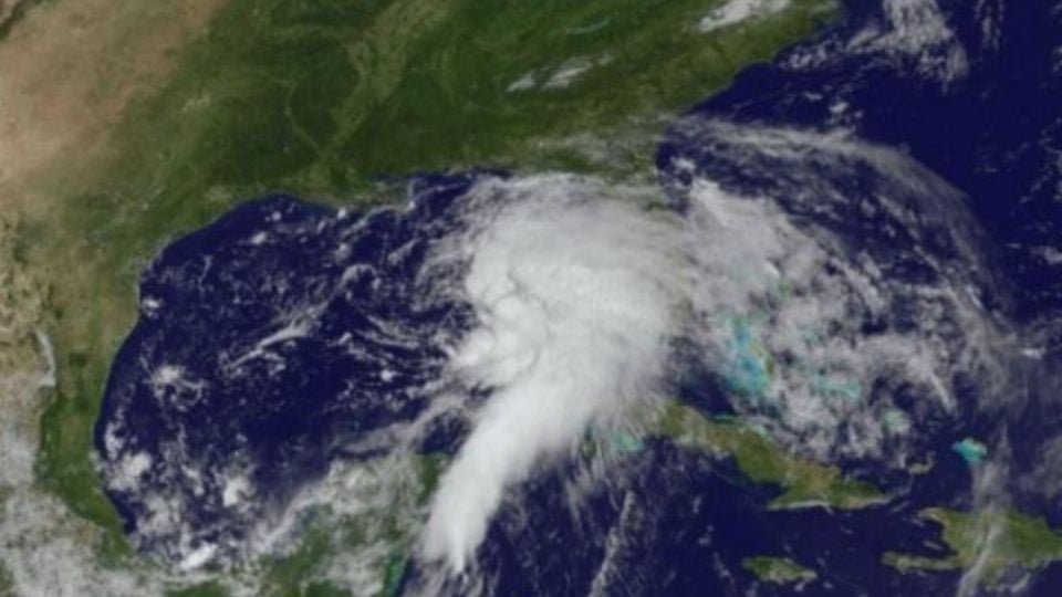
The rains currently recorded in Quintana Roo are not related to Cold Front number 25, which is currently affecting mainly the northern part of the country. In the Yucatán Peninsula, the bad weather conditions have a different origin and respond to the combination of several atmospheric systems.
Immediate Forecast and Affected Areas
For the night of December 28, scattered rains and showers accompanied by possible electrical discharges are forecast in the municipalities of:
- Bacalar
- Othón P. Blanco
- Felipe Carrillo Puerto
- Tulum
- Playa del Carmen
In the coastal areas of the state, winds of 10 to 20 km/h are expected. These effects are driven by the interaction of the cold front with jet streams and an atmospheric river.
Impact of Cold Front 25 (December 30-31)
The State Coordination of Civil Protection (COEPROC) details that the frontal system will intensify mid-week:
- Precipitation: Cloudy conditions with intervals of showers and specific heavy rains of between 25 to 50 mm are expected, along with electrical activity.
- “Norte” Event: Very strong winds from the north and northeast are forecast, with gusts reaching 50 to 70 km/h.
- Temperature Drop: From December 31 to January 2, an arctic air mass will cause cool to cold temperatures, ranging between 15°C and 17°C, mainly affecting rural areas of the state.
Low Pressure Channel and Caribbean Humidity
To this condition is added a low pressure channel extended over the southeast of the country, which acts as a trigger for the formation of storm clouds. Additionally, the constant influx of humidity from the Caribbean Sea provides the water vapor necessary for precipitation to intensify.
The combination of these three elements—cyclonic circulation, low pressure channel, and Caribbean humidity—is generating cloudy skies and rains in Quintana Roo, which could be intense in localized points, mainly during afternoons and nights.
Authorities recommend that the population stay informed about the weather forecast, as these conditions can cause puddles, wind gusts, and electrical activity in some areas of the state.
Safety Recommendations
Given the forecast of strong winds and elevated waves, authorities recommend:
- Consult Port Captaincies before undertaking any activity at sea.
- Stay informed about updates from the State Coordination of Civil Protection.
- Take precautions against the temperature drop, especially in vulnerable communities.
Discover more from Riviera Maya News & Events
Subscribe to get the latest posts sent to your email.