
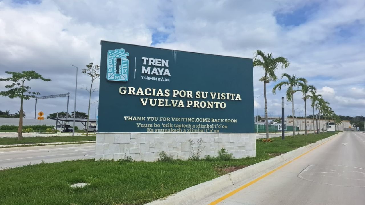
Othón P. Blanco, Quintana Roo — The Mexican government has formalized the expropriation of 102 hectares, 19 areas, and 71 centiareas in the municipality of Othón P. Blanco for the Maya Train project, according to a decree published in the Official Gazette of the Federation (DOF). The measure aims to secure the right-of-way and operation of passenger and freight rail services.
The project, awarded to Tren Maya, S.A. de C.V., is key to consolidating Section 6 (Tulum-Chetumal), a strategic axis within the National Development Plan 2025-2030 to boost economic development in southern Quintana Roo.
Land Distribution and Compensation
Of the total expropriated area, 67.69 hectares are common-use lands, while 34.49 hectares belong to individual plots. The Institute for the Administration and Appraisal of National Assets (Indaabin) set total compensation at 160,739,231.97 pesos, an average of 1.57 million pesos per hectare.
The Secretariat of Agrarian, Territorial and Urban Development (Sedatu) will execute the expropriation once the state-owned company proves full payment to the ejido members.
Prior Occupation and No Legal Opposition
The lands were already occupied under three agreements signed since September 2023 with the ejido assembly, plus 11 individual agreements formalized by Fonatur between 2023 and 2024, which included financial advances. Between October 2025 and May 2026, Sedatu legally notified those involved. Since no objections were filed during the statutory period, the agency issued a favorable opinion in June 2026.
History of Expropriations in Juan Sarabia
Founded in 1941 with an original endowment of 2,880 hectares, later expanded to 24,120 hectares, the ejido Juan Sarabia has undergone six expropriation processes since 1985. With this new decree, the total expropriated area reaches 330.7 hectares, equivalent to 1.37% of its original territory.
The decree specifies that if the land is not used for railway infrastructure within five years, the National Fund for Ejido Development (Fifonafe) may request partial or total reversion of the land.
More Development
- Meliá Invests €50 Million in Paradisus Cancún Renovation
- Kukulcán Interchange in Cancún to Be Completed by Late 2026, SICT Says
- Puerto Juárez Market Set to Open October 30 With 12 Vendors
- Aguakan Maintenance to Bring Low Pressure, Outages to Parts of Cancun
- Tulum Pivots to Luxury as Airlines Cut Flights, Occupancy Drops
More Chetumal
- Santa Fe Klan Plays Nearly Four Hours at Expofer 2026 in Chetumal
- Expofer Opens in Chetumal: 150 Police, No Incidents on Night One
- Baby Manatee Dies After Boat Strike in Río Hondo
- Teen Femicide File Leak: Key Witness, Mother Seek Protection
- Quintana Roo Opens Supervised Family Visitation Center in Chetumal