Mérida, Yucatán — A dense cloud of Saharan dust will linger over the Yucatan Peninsula for much of this week, the National Meteorological Service (SMN) confirmed Sunday. The phenomenon began moving into the region Saturday night and is expected to persist until July 18.
The Saharan Air Layer (SAL) will advance over Yucatán, Campeche, and Quintana Roo before spreading toward Gulf Coast states, according to the SMN, which based its advisory on NASA satellite imagery.
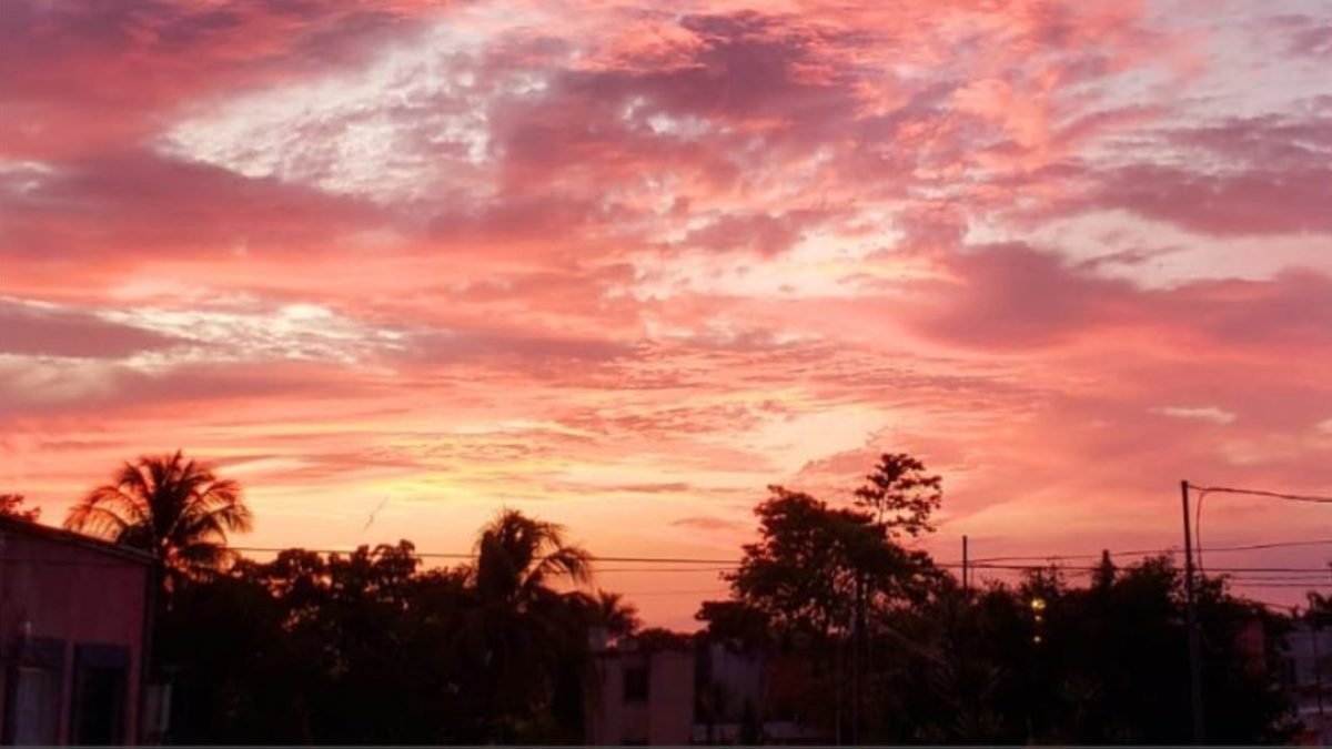
Over the coming days, residents can expect hazy sunrises and sunsets with intense red, orange, lilac, and purple hues — one of the most visible effects of the dust particles suspended in the atmosphere.
In addition to altering the sky’s appearance, the Saharan dust may partially reduce rainfall, as dry air masses limit cloud development when particle concentrations are high. However, this does not signal an end to precipitation or alter the ongoing Atlantic hurricane season.
Saharan dust is an annual phenomenon occurring between June and September, when massive amounts of sand and fine particles are carried from North Africa by trade winds, traveling thousands of kilometers across the Atlantic Ocean to the Caribbean and the Yucatan Peninsula.
Although the particles typically remain in the upper atmosphere, authorities recommend that people with allergies or respiratory conditions take precautions, especially during periods of higher dust concentration or gusty winds.
The SMN anticipates that this will not be the only Saharan dust cloud to affect the region this season, and similar episodes may occur in the coming weeks.
More Environment
- Maya Frog and Toad Shell Pendants May Reveal Ancient Trade Routes
- Heavy Rains to Soak Quintana Roo as Unstable Weather Moves In
- Brain-Eating Amoeba Found in Six Artificial Lakes in Mérida; Water Contact Restricted
- Semarnat Approves Artificial Reefs and Sand Relocation for Akumal Hotel
- Chetumal Plans 836 Million Pesos in Stormwater Works to Curb Flooding
More Quintana Roo
- Mexican Caribbean Courts Convention Business at Las Vegas Trade Show
- Ten Rural Communities in Quintana Roo Form Community Conservation Territories
- Study Finds Cancún’s Laguna Manatí Mangrove Could Qualify for Carbon Credits
- Lawmakers Seek to Make Mexican Sign Language Mandatory in Quintana Roo Schools
- Quintana Roo Signs Deal for First Formal Sargassum Fishery, Involving Up to 840 Boats