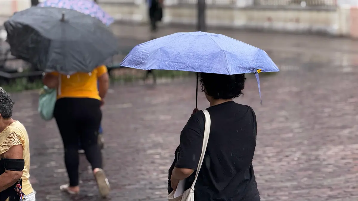
Yucatán Peninsula, Mexico — Up to four tropical waves are expected to sweep through the Yucatan Peninsula over the coming days, bringing heavy rain, thunderstorms and a heightened risk of flooding, according to meteorologist Juan Palma Solís.
The consecutive systems will keep conditions unstable for much of the week, with strong storms possible across the region. Forecasters warn of lightning, strong wind gusts and isolated hail, along with localized flooding in low-lying areas and neighborhoods with poor drainage.
When Will the Tropical Waves Arrive?
The first tropical wave is expected to increase rainfall starting Tuesday, followed by a second system Wednesday that could significantly boost precipitation totals. Another wave is forecast to approach Friday, with a possible fourth system arriving Saturday.
Forecasters say the exact track and intensity of each wave will depend on atmospheric conditions, so predictions may change over the next few days.
Which Areas Face the Highest Flood Risk?
The main risk will come from heavy rain falling over short periods, especially in:
- Low-lying urban areas
- Streets with poor drainage
- Locations with a history of waterlogging
If rain persists over several days, the ground will become saturated, raising the chance of flash floods. Strong winds could also bring down tree branches and damage weak structures.
Authorities advise residents to stay updated on weather alerts, avoid driving or walking through flooded streets, and secure loose outdoor objects.
Is There Hurricane Watch in the Atlantic?
Atlantic tropical activity typically intensifies in August, approaching the climatological peak of hurricane season. The U.S. National Hurricane Center is monitoring disturbed areas in the basin, but officials stress that a disturbance under watch does not currently pose a direct threat to Yucatan.
For now, the main concern for the peninsula is rain from tropical waves rather than a tropical cyclone on a direct path toward the region.
Why Is August a Key Month for Yucatan Weather?
August marks the start of the period when Atlantic cyclone activity rises sharply ahead of the seasonal peak. Even without an immediate cyclone threat, emergency officials recommend keeping prevention protocols ready for intense rain, flooding and possible tropical systems.
Residents should keep umbrellas handy, drive with caution and monitor forecast updates, as conditions could change quickly as the tropical waves move through.
More Environment
- Mexican Navy Opens Youth Photography Contest on Ocean Conservation
- WHO Warns El Niño Poses Major Global Health Threat
- Hurricane Polo Hits Category 5; Five Mexican States Brace for Heavy Rain
- Isla Mujeres Fishermen Face Grouper Shortage as Catch Barely Covers Local Demand
- Cancún Officials Urge Residents to Protect Pets After Reported Puma Sighting in Cuna Maya
More Quintana Roo
- Quintana Roo Congress Ranks Among Mexico’s Least Transparent
- Riviera Maya Business Groups Push to Block 35.8% Hike in Mexico’s Tourist Entry Fee
- Quintana Roo Climbs 12 Spots to 9th in Competitiveness Index
- Sargassum Collection in Quintana Roo Tops 133,000 Tons, Setting New Record
- Quintana Roo Courts European Airlines to Boost Winter Flights to Cancún