Puerto Morelos, Mexico — The Quintana Roo government has completed a project to modernize the land registry in Puerto Morelos using advanced aerial photogrammetry and LiDAR technology, officials announced.
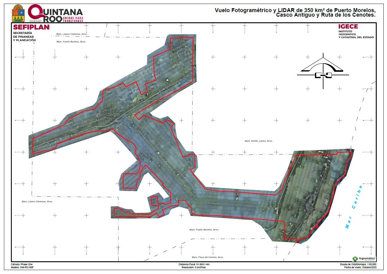
The State Geographic and Cadastral Institute (IGECE), part of the Finance and Planning Secretariat (SEFIPLAN), finished the 2025 Cadastral Modernization Executive Project, covering 350 square kilometers of municipal territory. The work produced high-precision updated mapping through orthorectified aerial images and three-dimensional terrain models.
Authorities processed the information at a 1:1,000 scale, enabling high positional accuracy in both urban and rural areas. According to the agency, this update has a multipurpose focus aligned with federal and state territorial management guidelines.
Among the benefits cited is strengthened legal security for property, as the mapping precisely reflects location, extent, and characteristics of land parcels. This contributes to greater certainty in real estate transactions and regularization processes.
The information will also improve efficiency in collecting property taxes and cadastral fees, while serving as input for urban planning, land use definitions, and territorial reserve delimitation.
In environmental matters, the mapping will support protection of the Federal Maritime Terrestrial Zone (ZOFEMAT) and coastal strip management. It will also strengthen civil protection capabilities by facilitating identification of areas vulnerable to flooding and erosion.
Discover more from Riviera Maya News & Events
Subscribe to get the latest posts sent to your email.