Yucatán, Mexico — Starting Monday, January 26, the effects of a new cold front, likely number 30, will begin to be felt in Yucatán, generating intense wave activity in the coastal zone.
The Yucatán Civil Protection Coordination (Procivy) announced that the cold front will enter between 9:00 a.m. and noon on Monday.
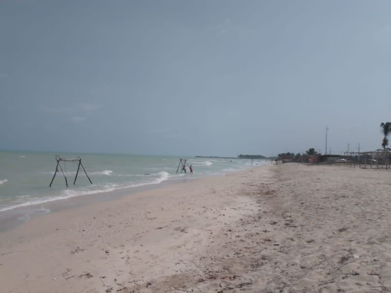
Due to its proximity and passage, waves of 1.5 to three meters in height are expected near the coast and up to 4 meters offshore.
Procivy urges the public to pay attention to all actions established by maritime and port authorities regarding port closures.
Similarly, extreme caution is advised for navigation due to the presence of elevated waves, as well as for conducting tourist, recreational, and commercial activities in the sea and beach areas.
Inland, it is recommended to stay away from poles and power lines, as well as billboards, and not to pass under scaffolding and buildings under construction due to strong wind gusts.
Possible Rains and Low Temperatures
The cold front is expected to generate a moderate to strong “Norte” event with wind gusts of 60 to 70 km/h in the coastal zone, waves of 1.5 to 4 meters in height, rain of varying intensity, and a slight drop in temperatures.
Waves of 1.5 to three meters in height near the coast and 4 meters offshore are also expected, along with moderate to heavy rain as it passes, with possible electrical activity.
Regarding temperatures, it will not be until the morning of January 28 that they begin to drop, with forecasts of between 14° to 15° C in the South, and above 15° C in the Center, Northeast, and Northwest.
Discover more from Riviera Maya News & Events
Subscribe to get the latest posts sent to your email.