Yucatán, Mexico — Yucatán awoke early Friday morning with unusual news: two consecutive earthquakes shook the southern part of the state. The National Seismological Service (SSN) confirmed a first tremor of magnitude 3.5 at 03:44 hours, located 17 kilometers south of Muna with coordinates 20.33° latitude and -89.69° longitude, at a depth of 5 kilometers. Just two minutes later, at 03:46 hours, a second movement of magnitude 3.7 was recorded at the same point.
Both earthquakes were shallow and caused slight vibrations felt in nearby communities such as Santa Elena and Ticul, where residents reported a faint “rumble” and the oscillation of doors and metal sheets. No damage or injuries were reported.
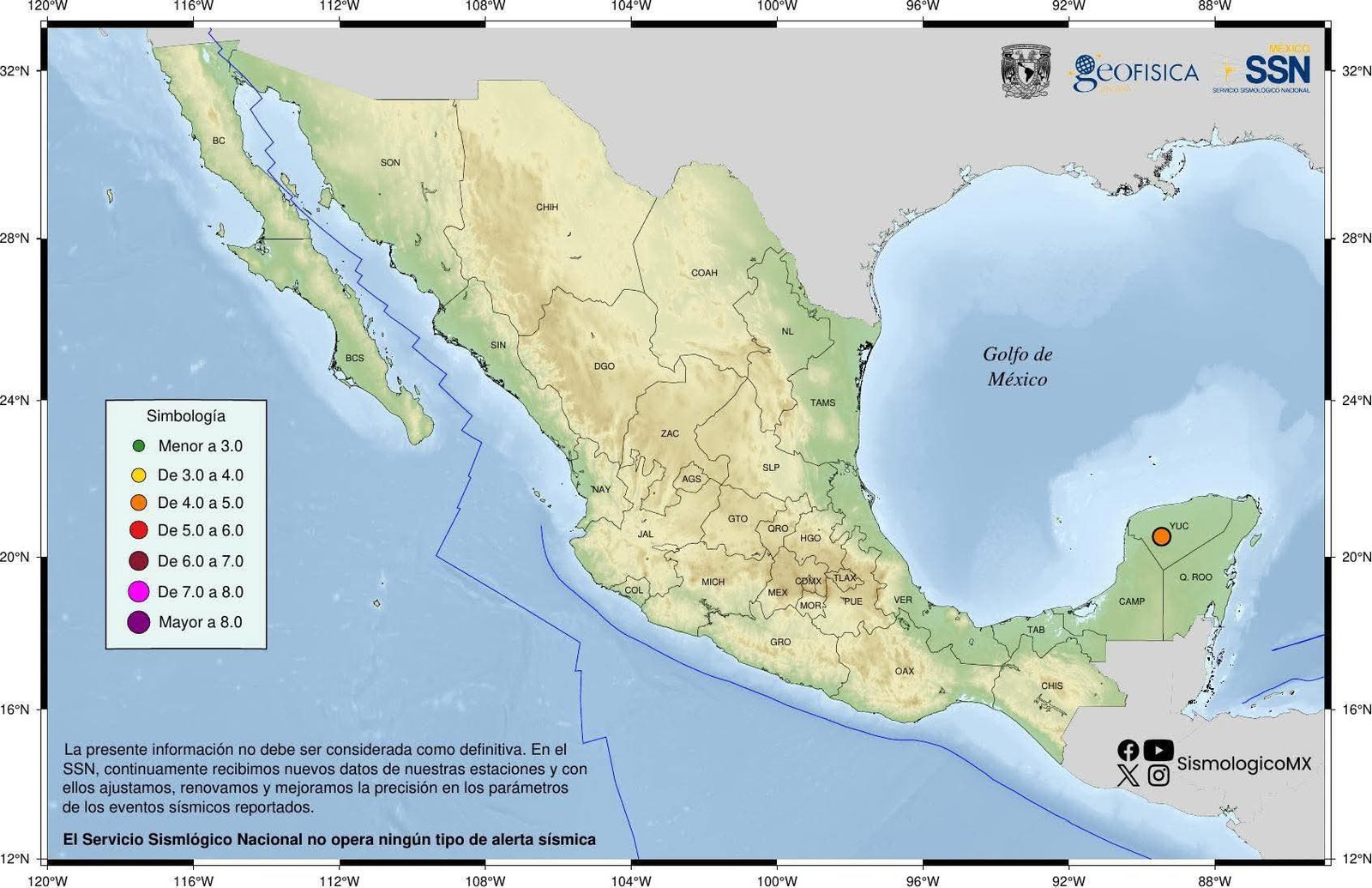
The surprise did not end there. Hours later, at 23:38, a third earthquake of magnitude 4.1 woke the inhabitants of Ticul.
According to the SSN, the epicenter was located 16 kilometers northeast of Ticul, with coordinates 20.52° latitude and -89.46° longitude and the same depth of 5 kilometers.
The movement was perceptible in several localities; the mayor reported hearing a loud rumble and activated Civil Protection protocols.
This sequence made December 5 the day with the most seismic activity recorded in the modern history of the state.
A Rare but Documented Phenomenon
For decades, the idea was repeated that Yucatán does not tremble because the ground is formed by limestone and rests on a stable plain. However, history demonstrates the opposite.
The record of the recent earthquakes in Muna and Ticul adds to other events: on October 9, 2025, an earthquake of magnitude 3.8 was detected 13 kilometers northeast of Ticul; on November 6, 2022, a movement of magnitude 3.8 was reported 20 kilometers southeast of Kanasín; in December 2018, an underground collapse was recorded in Mérida; and on September 7, 2017, days before the earthquake that shook Mexico City, a mild tremor was felt in Ciudad Caucel.
There is even a record from 1910 cited by historian Roldán Peniche Barrera in his book Yucatán insólito, and in 1911 the first seismological station in Mérida was installed.
These precedents show that, although Yucatán is not a high-energy seismic zone, the peninsula experiences intraplate earthquakes—movements that occur within the North American plate, far from tectonic boundaries.
According to experts from the National Autonomous University of Mexico, the peninsula is considered a region of low or null seismic activity due to its distance from the Pacific subduction zones.
However, internal fractures of the plate and the presence of local faults can generate low-magnitude earthquakes.
These shakes are usually shallow and, although they rarely cause damage, are felt on the surface due to the type of soil.
The Role of Karst Soil and Earthquake Perception
The Yucatán Peninsula is formed by karst terrain—a highly porous limestone rock with caves and cenotes.
This type of soil influences how seismic waves are transmitted. According to specialists, vibrations are dampened or amplified depending on the density of the rock, so some people perceive the tremor and others do not, even in the same locality.
“Earthquakes in Yucatán are usually shallow, of low magnitude, and with local effects,” they explain; therefore, many times only creaking sounds in roofs or doors are heard.
The recent movements in Muna and Ticul occurred at five kilometers depth, which increased their perception. In the case of the 4.1 magnitude tremor, the mayor of Ticul, Alberto Parra, described a loud rumble but recalled that there was no damage and urged people to remain calm.
Civil Protection of Yucatán confirmed that the earthquake does not represent a risk to the population and urged following basic protocols: verifying the integrity of structures, avoiding rumors, and staying informed through official channels.
The myth that “in Yucatán it doesn’t tremble” crumbles with each new record. The chronicle of earthquakes includes from the Progreso movement in 1978 (magnitude 4.6) to more recent events such as those in Ticul in 2004 and earthquakes of magnitudes between 4.5 and 4.7 in Campeche in 2015 and 2016, perceptible in Mérida.
Specialists remind that, although a large-magnitude earthquake on the peninsula is unlikely, zero risk does not exist and intraplate movements can repeat sporadically.
Therefore, experts recommend that the population adopt a culture of prevention, identify safe zones in homes and schools, prepare emergency backpacks, participate in drills, and not spread unconfirmed information.
Understanding the geological reasons—the distance to plate boundaries, the existence of local faults, and the behavior of karst soil—helps dispel rumors and react calmly. Each earthquake, however mild, is a reminder that the ground in Yucatán also moves, and that history and science should guide us more than myths.
Discover more from Riviera Maya News & Events
Subscribe to get the latest posts sent to your email.