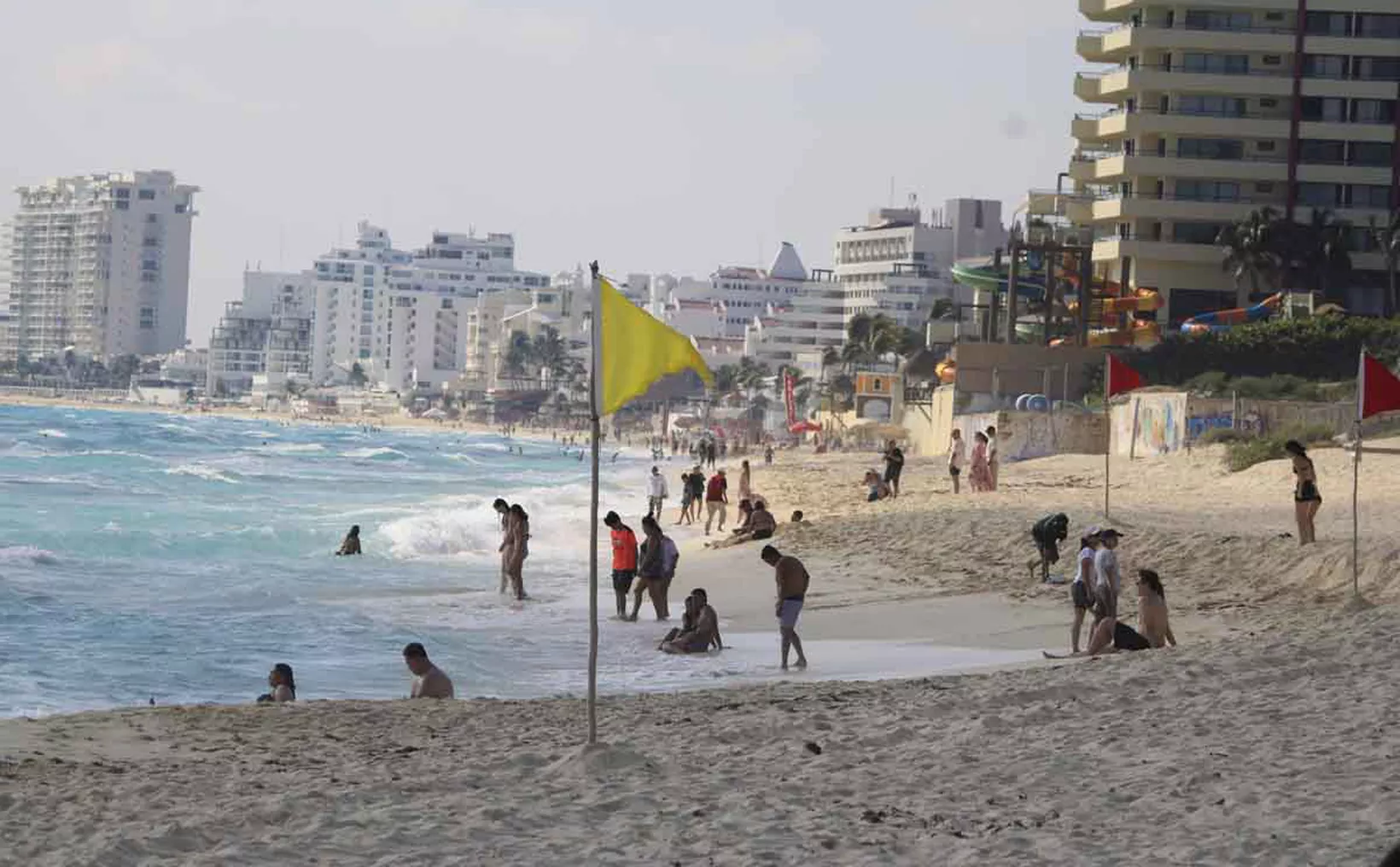
Cancún, Mexico — The iconic white sand beaches of Quintana Roo, the engine of tourism in the Mexican Caribbean, are facing an environmental crisis due to accelerated coastal erosion. Experts warn that this phenomenon, driven by a combination of natural and human factors, is causing the loss of up to two meters of beach per year in key stretches of the northern zone, particularly in the Riviera Maya.
Guillermo Garduño Cruz, a surveyor attached to the Directorate of the Federal Maritime Zone and Coastal Environments of the Ministry of Environment and Natural Resources (Semarnat), explained that to avoid impacts from urban development, it is necessary to maintain an updated registry of occupancy in coastal zones. This is to ensure that works carried out with Environmental Impact Assessment permits do not result in the loss of sandy areas, but instead generate land reclaimed from the sea.
“It is important to keep a record of the land reclaimed from the sea and that which is lost to erosion, which is why data must be constantly updated to have a registry of the occupants along our coasts in order to protect them,” he stated.
To date, experts estimate an average loss of two meters of sandy beach per year in the Mexican Caribbean, with critical points in Puerto Morelos, where up to seven meters have been lost. The impact adds up to a cumulative total of at least 30 kilometers of beach along the Quintana Roo coastline.
While natural phenomena play a role, the construction of hotels and residential developments without respecting the coastal dune strip and the maritime-terrestrial zone interferes with the natural dynamics of the sand on the Quintana Roo coast.
“Having an updated registry of our coasts also allows us to know what types of structures have been built; some have been constructed without permits and modify our coastal littoral, which has severe repercussions on erosion,” he explained.
He indicated that the Federal Maritime-Terrestrial Zone is defined as the 20-meter-wide strip of firm, traversable land that borders the beaches. Due to sea dynamics and coastal erosion, this distance is always measured from the current tide line.
He said that if the sea invades private land, that portion becomes federal property, and the private individual has the right to request a concession for it. If the sea recedes, that portion becomes land gained from the sea, maintaining its federal character.
“In the case of artificial marinas, when marinas are within privately owned land, the federal zone is not demarcated. But if it is done in a bay and a marina is created, then the 20-meter federal zone to the sea does apply,” he emphasized.
He explained that for the continuous updating of the Federal Maritime-Terrestrial Zone, modern methods such as drones are used. This information must be validated with ground control to ensure its topographical accuracy. This work is crucial for monitoring construction, updating data, and preventing further damage from coastal erosion.
Discover more from Riviera Maya News & Events
Subscribe to get the latest posts sent to your email.